Info
walking distance: 10.2 kmduration: 0:00 h
walking: 0:00 h
elevation diff: 393 m
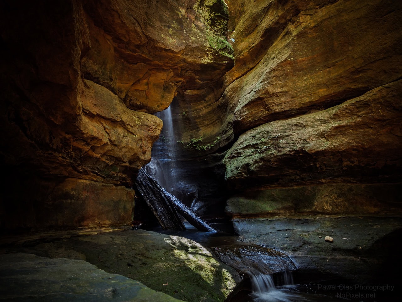
location: Newnes State Forest
driving distance: 125 km
driving time: 2:20 h
water available:
parking: -33.3210,150.1545
gps tracks
Total distance: 10247 m
Max elevation: 1155 m
Min elevation: 926 m
Total climbing: 394 m
Download file: wolgan-falls.gpxMax elevation: 1155 m
Min elevation: 926 m
Total climbing: 394 m
Video
Track notes
possibly quite rugged. an option it to park further north on the sunny side road and just walk to the lookout above the falls and back. maybe explore the area there and backtrack to the car the same way.