

Info
walking distance: 16.8 kmduration: 0:00 h
walking: 0:00 h
elevation diff: 521 m
location: Barrington Tops
driving distance: 247 km
driving time: 3:10 h
water available: yes
parking: -32.1546,151.5280
gps tracks
Max elevation: 516 m
Min elevation: 345 m
Total climbing: 524 m
Video
Track notes
0.0km Start at Williams River Picnic Area
0.3km Bridge over Williams River
1.9km Fern Tree Creek Picnic Area
2.3km Blue Gum Loop Track joins Rocky Crossing Track
3.4km Lion Rock (100m side-trip from main track)
4.8km Pool of Reflections (300m side-trip from main track)
7.7km Strangler Fig (50m from main track)
8.8km Junction with track up to William Top car park & picnic area
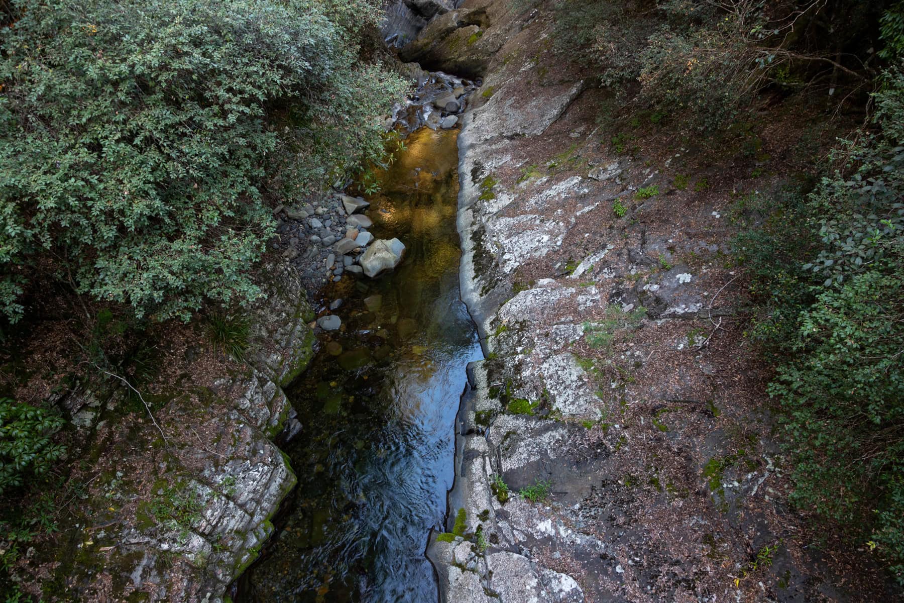
9.2km Rocky Crossing
15.2km Junction with Blue Gum Loop Track
16.1 Crystal Pool (100m side-trip from main track)
16.8km Return to Williams River Picnic Area
https://hikingtheworld.blog/2019/04/25/rocky-crossing-barrington-tops/
Alerts
Barrington Tops National Park
Safety alerts: Visitor Safety Alert: Feral Horses
Feral horses move through this campground day and night. Campers at Little Murray and Polblue campgrounds should set up tents as close to their vehicles as possible.
Aggressive horse behaviour can pose a safety risk for visitors. Aggressive behaviour includes snorting, head bobbing, stomping front legs, ears erect, aggressive stance and approaching in an aggressive manner.
What to do around aggressive horses:
· avoid the animals, especially if a stallion is present and there are mares nearby
· retreat to your vehicle
· wave your arms around and make lots of noise
· walk in a group rather than as an individual
· always be aware of your immediate surroundings.
Please report any such interaction or aggressive horse behaviour to NPWS Gloucester on 6538 5300.
Other planned events: Williams River Picnic Area Barbeques Out of Order
Williams River Picnic Area barbeques are currently not working. NPWS apologises for any inconvenience and will repair them as soon as possible.
For more information, please call NPWS Gloucester Office on 02 6538 5300.
Other planned events: Blue Gum Loop and Rocky Crossing Walking Track Works
Track works will occur on Blue Gum Loop and Rocky Crossing walks between March and June 2024. Temporary closures will occur and will be posted as a separate alert. Be aware of contractors and machinery operating in the area and follow any onsite signage or directions from staff or contractors.
For more information contact Gloucester NPWS Office on 02 6538 5300.
Closed areas: Burraga Swamp Walk Closed
Burraga Swamp walking track is currently inaccessible to vehicles due to closure of Mt Allyn Rd. Forestry Corporation of NSW has closed the road due to a failed bridge. The reopening date is not known at this stage. For more information, phone Gloucester NPWS Office on 02 6538 5300.
Closed areas: Polblue Swamp Track partially closed for track maintenance
The southern section of Polblue Swamp Track will be closed from Monday 15 April to Friday 26 April while the walking track is being upgraded. Other sections of the track will remain open, however completing the loop circuit will not be possible during this period.
Penalties apply for non-compliance. For more information, contact the Barrington Tops Area Office 02 6538 5300.
Closed areas: 4WD Trail Closures
Some 4WD trails remain closed after the annual seasonal closure period (from 1 June to 30 September) due to trail conditions. The following 4WD trails remain closed:
- Tugalow trail
- Thunderbolts trail - between Barrington Tops Forest Road and Pheasants Creek Road
- Barrington Trail south past the Junction Pools Trail.
This closure does not effect public vehicle access to the Barrington Tops plateau campgrounds.
Walkers and mountain bikers are still permitted to utilise these trails while it is closed to public vehicles.
Penalties apply for non-compliance. For more information call the local NPWS office on 02 6538 5300.
Closed areas: Phytophthora quarantine area - Barrington Tops National Park
Phytophthora is a mould that causes dieback in plants. It's been found on the plateau in Barrington Tops National Park, predominantly on the Watergauge trail between Beean Beean and Black Swamp. The affected area is under quarantine with absolutely no visitor access.
Phytophthora is readily spread by mud carried by walkers' shoes and mountain-bike tyres. There are boot wash stations across the plateau for walkers to use, to ensure their boots 'Start clean, Stay clean'.
Penalties apply for non-compliance. For more information, please contact the NPWS Gloucester area office on (02) 6538 5300.
Barrington Tops State Conservation Area
Closed areas: 4WD Trail Closures
Some 4WD trails remain closed after the annual seasonal closure period (from 1 June to 30 September) due to trail conditions. The following 4WD trails remain closed:
- Tugalow trail
- Thunderbolts trail - between Barrington Tops Forest Road and Pheasants Creek Road
- Barrington Trail south past the Junction Pools Trail.
This closure does not effect public vehicle access to the Barrington Tops plateau campgrounds.
Walkers and mountain bikers are still permitted to utilise these trails while it is closed to public vehicles.
Penalties apply for non-compliance. For more information call the local NPWS office on 02 6538 5300.