
Info
walking distance: 3.0 kmduration: 2:40 h
walking: 1:06 h
elevation diff: 174 m
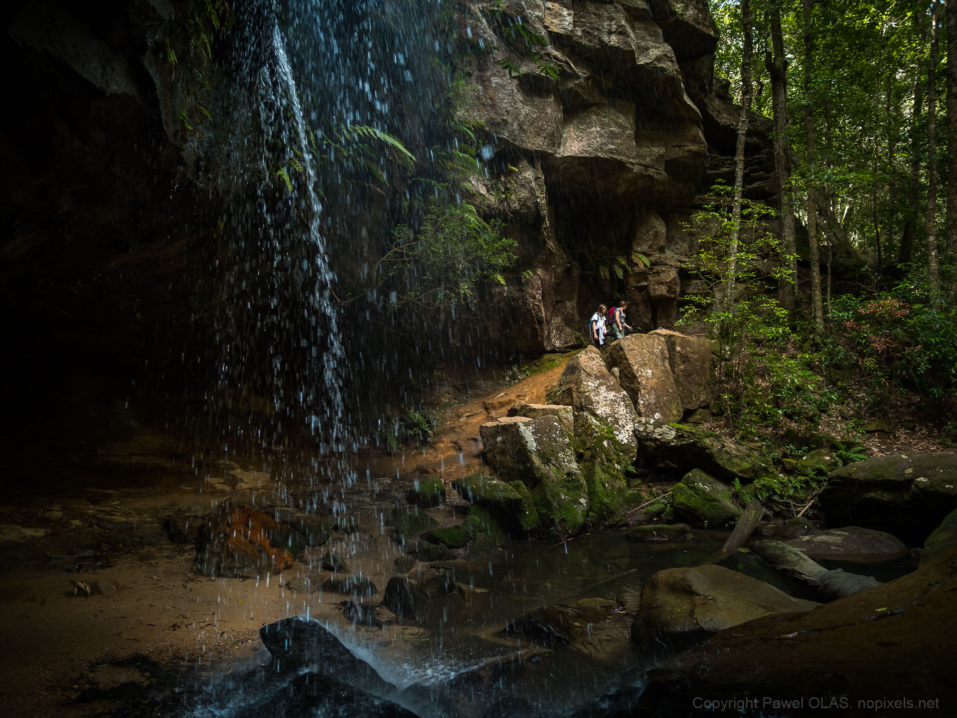
location: Blue Mountains
driving distance: 72 km
driving time: 1 h
water available: yes
parking: -33.7128,150.4544

gps tracks
Total distance: 3170 m
Max elevation: 628 m
Min elevation: 523 m
Total climbing: 173 m
Total time: 02:40:08
Download file: Track_034.gpxMax elevation: 628 m
Min elevation: 523 m
Total climbing: 173 m
Total time: 02:40:08


