Info
walking distance: 9.0 kmduration: 0:00 h
walking: 0:00 h
elevation diff: 288 m
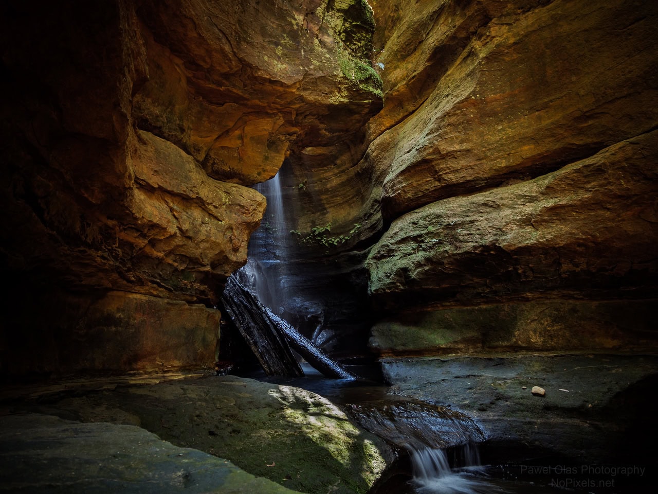
location: wollemi National Park
driving distance: km
driving time: h
water available:
parking: -33.4478,150.6172
gps tracks
Max elevation: 571 m
Min elevation: 491 m
Total climbing: 288 m
Video
Track notes
The entrance to the Long Ridge Track is on the left along Mountain LagoonRoad, 1.5km after the bitumen ends as you come from Bilpin. This track skirtsthe western edge of the property Mill Paddock, and then meanders for 6kmthrough the wet and dry sclerophyll forests typical of the area, featuring agood variety of local tree species such as grey gum (Eucalyptus punctata),stringybark (Eucalyptus globoidea), bloodwood (Eucalyptus eximia) andturpentine (Syncarpia glomulifera).Like the majority of tracks in the Mountain Lagoon area that are now used bybushwalkers, Long Ridge was originally put in by loggers to gain access to theforest and haul out the timber. With the commercial timber industry longgone, the track today is maintained as a fire trail. While there is no spectacularview at the end of the walk, Long Ridge offers a pleasant, relatively easy 5.5kmhike through some typical east coast Australian bushland and, as is the casewith several other tracks in the area, you stand a good chance of having it all toyourself! 2km along the trail, a short side track leads to an abandoned shalequarry.