Info
walking distance: 4.9 kmduration: 4:08 h
walking: 2:17 h
elevation diff: 272 m
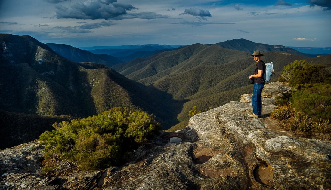
location: kanangra
driving distance: 190 km
driving time: 3:20 h
water available: rain water picnick facilities
parking: -33.9885,150.1085
gps tracks
Max elevation: 1083 m
Min elevation: 1040 m
Total climbing: 272 m
Total time: 04:08:06
Video
Track notes
Photographs
PHOTO GALLERYPHOTO GALLERY


.
Alerts
Kanangra-Boyd National Park
Safety alerts: Remote walking track conditions
Remote routes within the Kanangra Wilderness Area including Kanangra to Katoomba (K2K) trail have been impacted by heavy fire regrowth and flood damage.
In some places, tracks are no longer visible and are not easy to navigate, taking longer to traverse than expected. Limited to zero water sources are currently available along routes.
If you plan to walk in the area, please ensure you have an appropriate level of experience, navigation skills and equipment including Personal Locator Beacon (PLB).
Mobile reception is limited so alternative communication methods are strongly recommended.
For more information, contact the NPWS Blue Mountains Heritage Centre on 02 4787 8877.
Closed areas: Six Foot track - Bowtells Bridge closure
Bowtells swing bridge on Six Foot track is closed to protect public safety. An upgrade is being planned and the bridge is expected to reopen in May 2024. Signs and barriers are in place to prevent access onto the bridge.
Crown Lands, which manages the bridge, is advising track users not to attempt to cross Coxs River. Any attempts to cross the river are at your own risk and are discouraged due to the potential for slips or falls, rainfall and risk of flash flooding.
For further information visit the Six Foot track website.
Other planned events: Notice of ongoing 1080 baiting program
NSW National Parks and Wildlife Service (NPWS) is conducting ongoing ground baiting program from Thursday 2 November 2023 to Wednesday 1 May 2024 in the following areas:
- Abercrombie River National Park
- Abercrombie River State Conservation Area
- Kanangra-Boyd National Park
- Blue Mountains National Park (southern section)
- Wollemi National Park (Wolgan Valley area)
- Gardens of Stone National Park
- Jenolan Karst Conservation Area
- Turon National Park
- Marrangaroo National Park
The program is designed to minimise predator impacts on wildlife, especially threatened species, and to minimise impact of wild dogs on neighbouring stock.
Signs will be placed at the entry to the baiting location. Domestic pets are not permitted in NSW National Parks managed lands. Pets and working dogs may be affected (1080 is lethal to cats and dogs). Pets and working dogs must be restrained or muzzled in the vicinity and must not enter the baiting location. In the event of accidental poisoning seek immediate veterinary assistance.
For more information, contact the NPWS Kanangra area office at Oberon on 02 6336 6200.
Closed areas: Kanangra-Boyd management trail closures
The following fire trails in Kanangra-Boyd National Park are closed due to flood events and current track conditions:
- Mini Mini/Waterfall Creek
- Beefsteak Creek
- Gilbraltar
- Budthingaroo
- Mumbedah