warriwood blow hole

warriwood blow hole


Info

walking distance: 2.5 km
duration: 1:52 h
walking: 0:53 h
elevation diff: 85 m
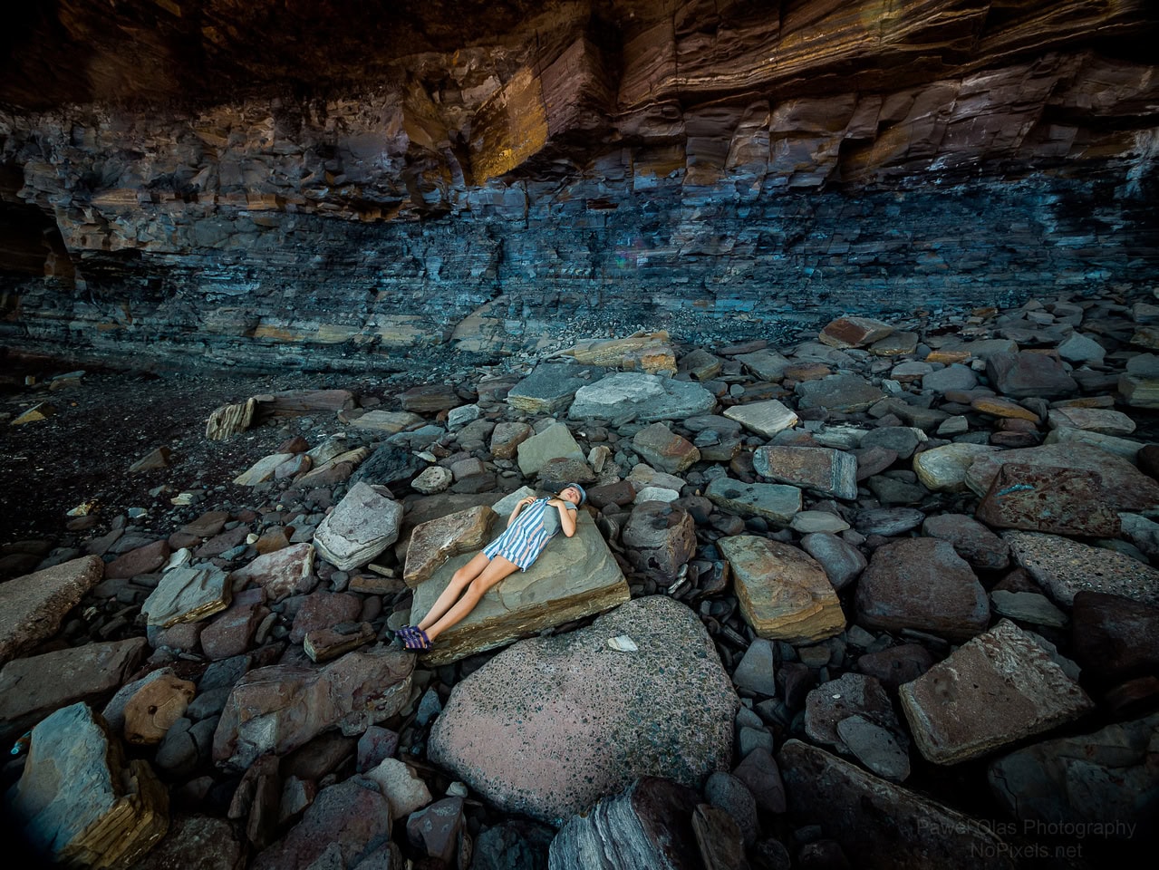
location: coast
driving distance: 35 km
driving time: 0:50 h
water available:
parking: -33.6944,151.3107


gps tracks

Total distance: 2578 m
Max elevation: 53 m
Min elevation: 0 m
Total climbing: 88 m
Total time: 01:49:40
Download file: 19-02-01-Warriwood-blowhole.gpx
Total distance: 1475 m
Max elevation: 42 m
Min elevation: 3 m
Total climbing: 49 m
Total time: 01:46:05
Download file: 21-04-04-warriewood.gpx

Video


Track notes


Photographs

PHOTO GALLERY
PHOTO GALLERY

rHmbznx
 
dXXcgjC
 
dhVLBFV
 
FGZP4VQ
 
HMBVgjc
 
nXLP52k
 
HpjtbZR
 
jMVSM6Z
 
GzCTN8V
 
jNtRzHh
 
RKkfhzC
 
drrfSvd
 
gbphcWt
 
SLthMXs
 
4LhcSZj
 
mgKjjzX
 
DDFSJ6z
 
6hMFjRV
 
MkBTQtC
 
FxsSggJ
 
.


Alerts

Coffs Coast Regional Park

Other planned events: Temporary closure of Boambee Creek Bridge during weekdays at southern end of Solitary Islands Coastal Walk
Please be aware that at the southern end of Solitary Islands Coastal Walk (SICW) there is temporary closure which impacts walker access between Boambee Beach and Boambee Headland.
 
The Boambee Creek Bridge footbridge will be closed Mon- Fri 6am-6pm until July 2024 (project finish date TBC). 
 
It is recommended walkers attempt this section during weekends, during times which the pedestrian access bridge is open to the public.
 
Please be aware that Boambee Creek is several metres deep with a strong tidal flow to the ocean, so safe crossing requires using the bridge.
 
Alternatively, should you wish to pass during the closure window - please bypass Boambee Beach via town roads with adjacent concrete walking paths:
Southbound - from the Coffs Harbour Jetty - walk 1.6km west along Harbour Drive to Hogbin Dr roundabout, then 6.6km south down Hogbin Drive walking track to Sawtell Rd roundabout, then 1.3km east along Sawtell Road to Boambee Headland - continue south on SICW. 
Northbound - from Boambee Headland - walk 1.3km west along Sawtell Road to Hogbin Dr roundabout, then 6.6km north along Hogbin Drive walking track to Harbour Dr roundabout and 1.6km east along Harbour Drive to the Coffs Harbour Jetty - continue north on SICW.
 
This project is outside of NSW National Parks and Wildlife Service managed lands, but this notice is to inform visitors that these works will affect the SICW walk route continuation further south of the Coffs Coast Regional Park.
 
Keep updated via City Of Coffs Harbour project page information about the closure:
https://www.coffsharbour.nsw.gov.au/Your-Council/Projects-and-initiatives/Current-projects/Boambee-Creek-Bridge-Maintenance-and-Footbridge-Replacement

Closed areas: Mullawarra Reserve, Arrawarra Headland - Beach Rd picnic area upgrade - temporarily closed due to precinct upgrade works
Please be advised Mullawarra Reserve, Arrawarra Headland (Beach Rd picnic area) will be temporarily closed for upgrade works.
Picnic area is closed from Wednesday 20 March 2024 to approximately 31 May 2024, pending weather delays.
Please follow the site signage and keep out of fenced exclusion areas to allow works to proceed without interference to allow reopening of the site promptly.
The carpark, accessible toilets, beach access ramp and picnic area will be improved by these renewal works.
City of Coffs Harbour are undertaking the works as the asset lead for Coffs Coast Regional Park.

Closed areas: Moonee Creek south bridge (Caravan park to Green Bluff access) closed
Moonee Creek (Sugar Mill Creek) Bridge is closed until further notice, due to damage from coastal erosion.
The bridge crossing provides access:

  • To Reflections Holiday Park
  • From Moonee south to Coffs Coast Regional Park, Green Bluff and Sapphire North.
Reflections Holiday Parks have closed the bridge until further notice, due to an engineering assessment deeming the bridge unsafe for pedestrians.
If you are planning to do the Solitary Islands coastal walk please reroute:
  • West along Moonee Beach Road to the south-west corner of the shopping centre
  • South along new concrete path on eastern side of Pacific Highway
  • South onto southern end of North Solitary Drive
  • East onto North Sapphire Road to the beach access at Beachstone Cafe
Green Bluff is alternatively accessible from the south via Rutile trail, off Ivory Circuit in North Sapphire.
Reflections Holiday Parks Moonee manages this bridge and is contactable on 02 6653 6552.


Weather

.

Leave a Reply

Your email address will not be published.