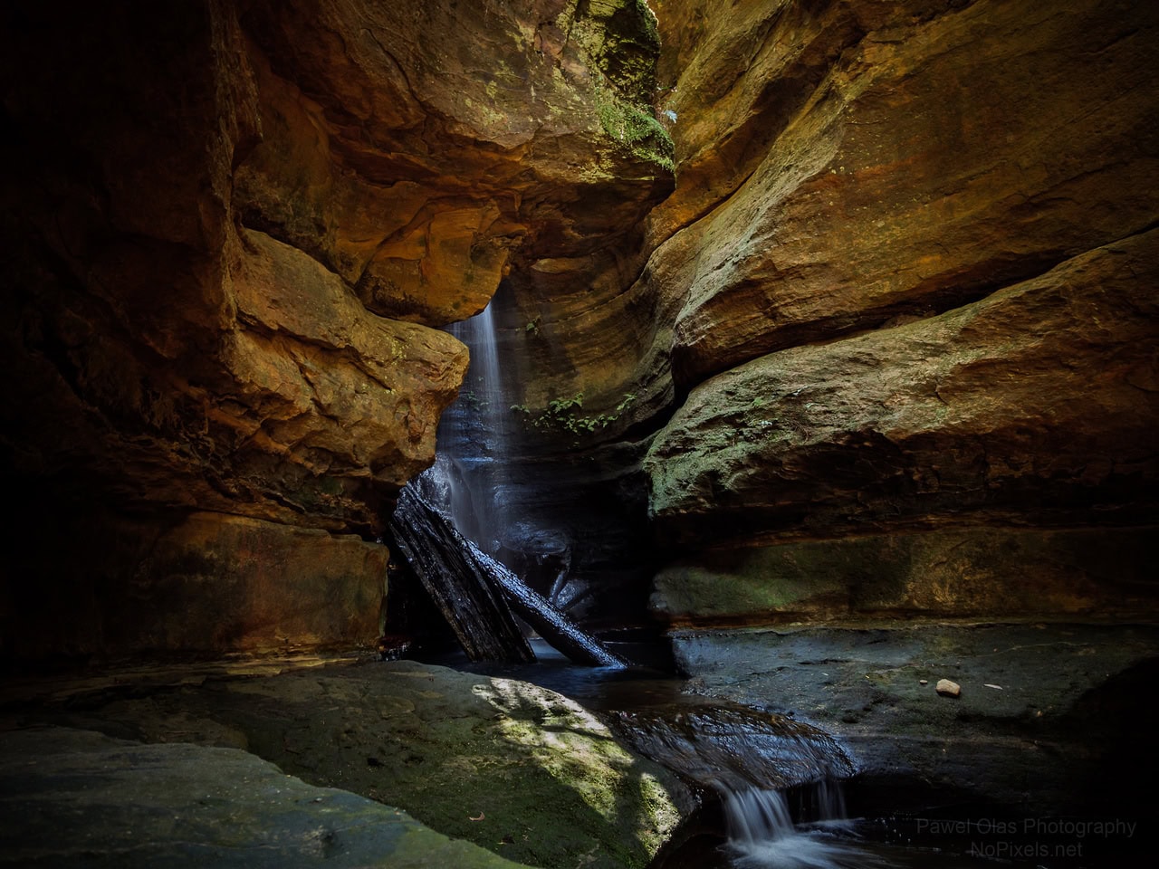
Info
walking distance: 11.0 kmduration: 5:17 h
walking: 3:14 h
elevation diff: 874 m
location: Mugii Murum-ban
driving distance: 164 km
driving time: 2:20 h
water available:
parking: -33.1228,150.0426
gps tracks
Total distance: 11351 m
Max elevation: 1023 m
Min elevation: 793 m
Total climbing: 893 m
Total time: 05:16:54
Download file: 20-07-01-genlowan-mountain.gpxMax elevation: 1023 m
Min elevation: 793 m
Total climbing: 893 m
Total time: 05:16:54
Video
Track notes
from bushexplorer track notes. at least 6 different tracks there