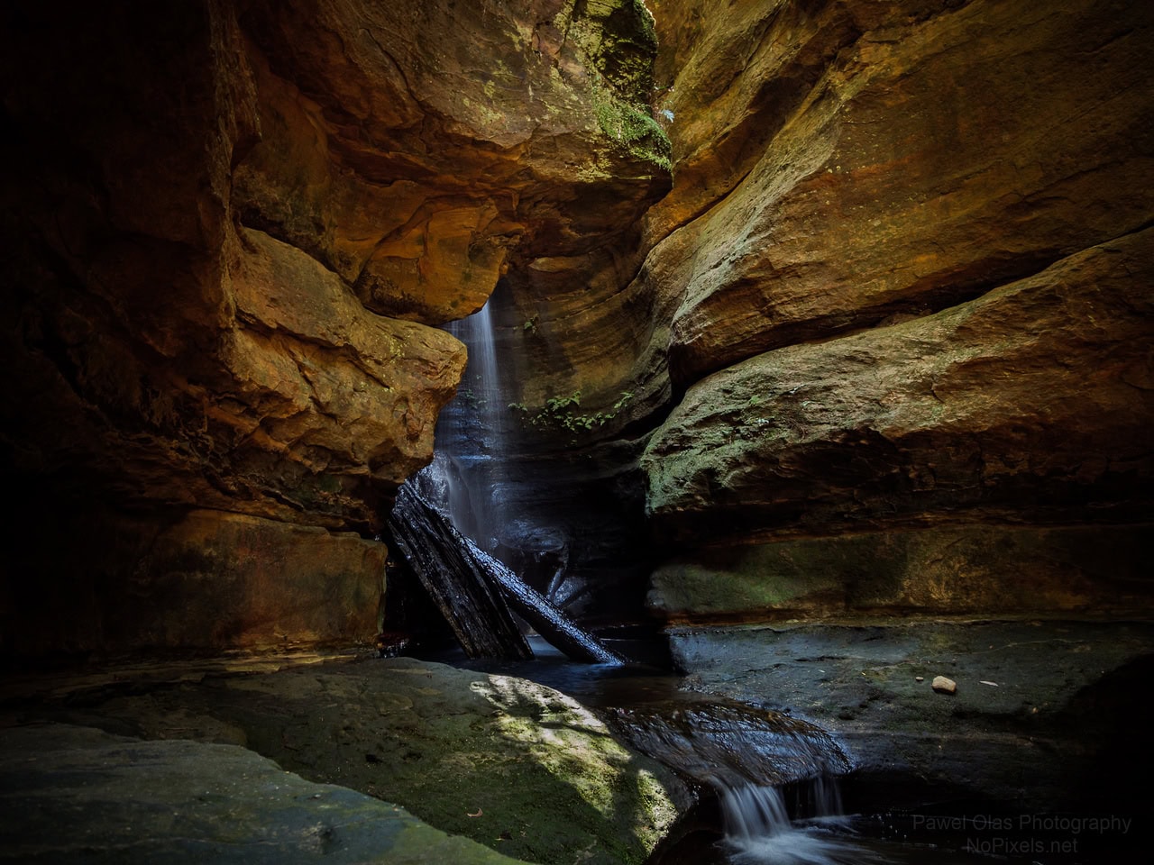
Info
walking distance: 1.5 kmduration: 1:36 h
walking: 0:54 h
elevation diff: 172 m
location: watagan
driving distance: km
driving time: h
water available:
parking: -33.0133,151.4305
gps tracks
Total distance: 1731 m
Max elevation: 264 m
Min elevation: 148 m
Total climbing: 164 m
Total time: 01:36:01
Download file: Waterfall.gpxMax elevation: 264 m
Min elevation: 148 m
Total climbing: 164 m
Total time: 01:36:01
Video
Track notes
open street maps have the trail and the waterfall marked – update the gps track