![]()
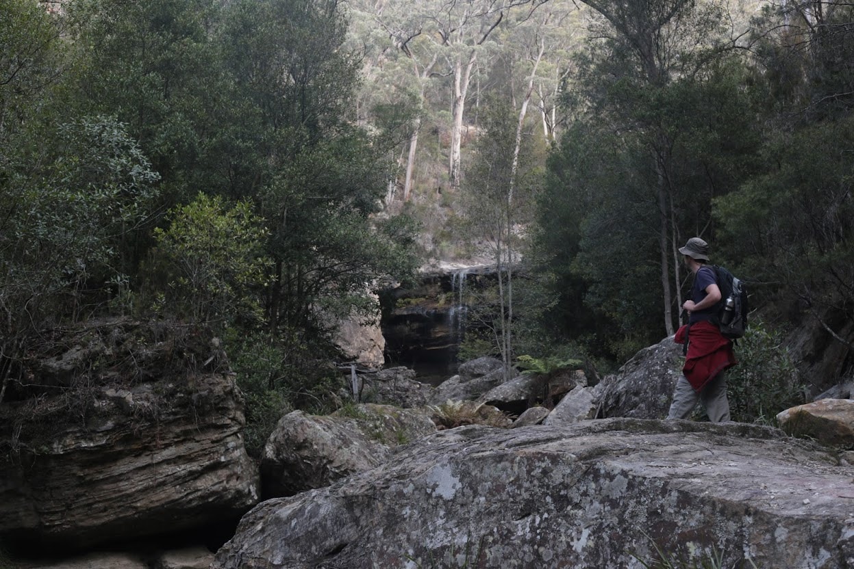
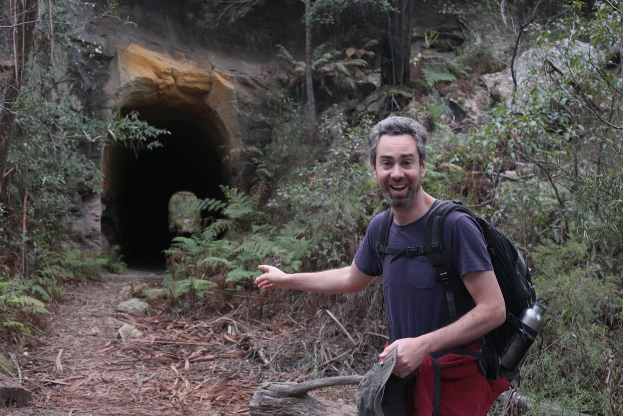
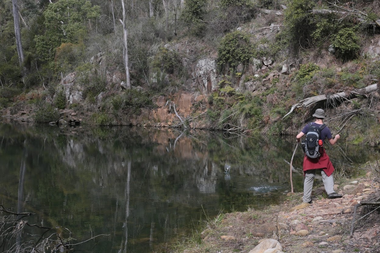
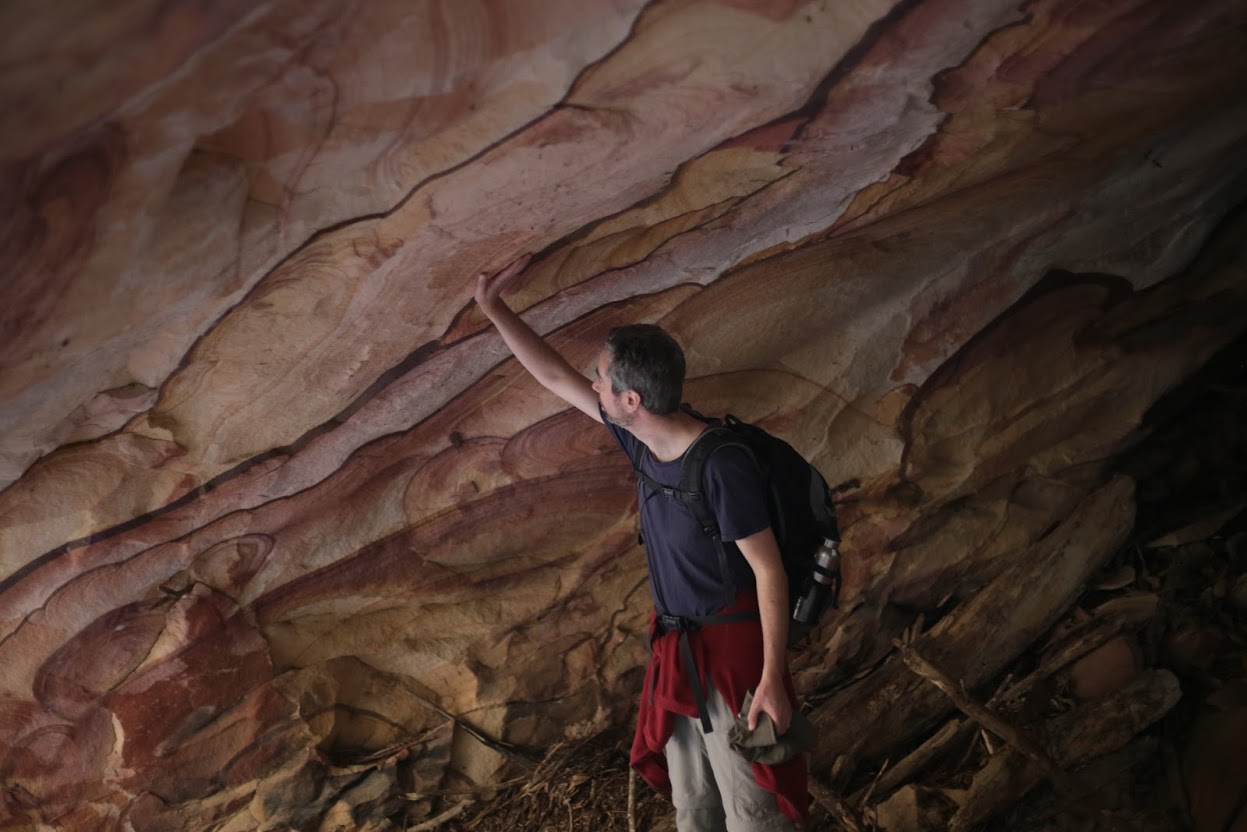
This is a planned trip. The content of this page can be wildly inaccurate, the images are most likely stolen from the internet. I have never been there and I have no idea what to expect. This page should NOT be visible and accessible by visitors.
![]()
This is a planned trip. The content of this page can be wildly inaccurate, the images are most likely stolen from the internet. I have never been there and I have no idea what to expect. This page should NOT be visible and accessible by visitors.
Info
walking distance:
10.7 km duration:
0:00 h walking:
0:00 h elevation diff:
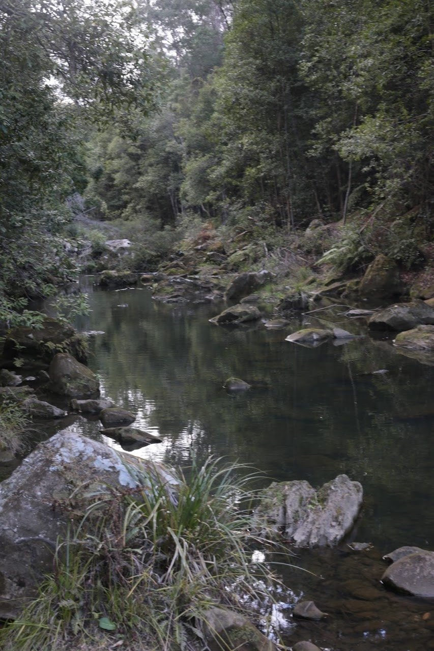
461 m location:
nattai national park driving distance:
km driving time:
h water available:
yes parking:
-34.4379,150.4137
gps tracks
Total distance: 10838 m
Max elevation: 701 m
Min elevation: 507 m
Total climbing: 463 m
Download file:
box-vale-track.gpx
Video
Alerts
temporarily unavailable, sorry.
Weather
not available either :-(.