Info
walking distance: 7.6 kmduration: 5:21 h
walking: 2:38 h
elevation diff: 509 m
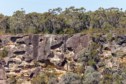
location: blue mountains
driving distance: 60 km
driving time: 50 h
water available: yes
parking: -33.7286,150.5743

gps tracks
Total distance: 7707 m
Max elevation: 329 m
Min elevation: 123 m
Total climbing: 517 m
Total time: 05:21:20
Download file: 20-02-04-martins-lookout.gpxMax elevation: 329 m
Min elevation: 123 m
Total climbing: 517 m
Total time: 05:21:20
Video
Track notes
the loop may not be possible (not many maps show it)
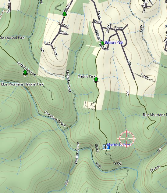
looks like a nice walk to glenbrook creek in its upper section.
roughly 600m to get to the creek. 2-3km the entire loop max.
http://www.wildwalks.com/bushwalking-and-hiking-in-nsw/glenbrook-eastern-blue-mountains/martin-s-lookout-to-glenbrook-creek.html