
Info
walking distance: 7.4 kmduration: 0:00 h
walking: 0:00 h
elevation diff: 808 m
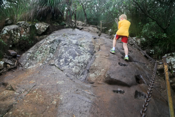
location: wollumbin
driving distance: km
driving time: h
water available:
parking: -28.3985,153.2843
gps tracks
Total distance: 7724 m
Max elevation: 1071 m
Min elevation: 432 m
Total climbing: 807 m
Download file: Mount-Warning.gpxMax elevation: 1071 m
Min elevation: 432 m
Total climbing: 807 m
Video
Alerts
Wollumbin National Park
Closed areas: Wollumbin (Mount Warning) Summit track and Aboriginal Place closed
Parts of Wollumbin National Park, including the Korrumbyn Creek picnic area, Lyrebird walking track, and visitor facilities at Breakfast Creek, are open.
Please note Mount Warning Road is flood damaged and has traffic control in place. Parking at Korrumbyn Creek and Breakfast Creek is limited.
Wollumbin (Mount Warning) summit track and the Aboriginal Place remains closed. Penalties apply for non-compliance.
For further information visit our webpage at www.environment.nsw.gov.au/topics/wollumbin-national-park. For up to date visitor information check www.nationalparks.nsw.gov.au/visit-a-park/parks/wollumbin-national-park