
Info
walking distance: 5.1 kmduration: 0:00 h
walking: 0:00 h
elevation diff: 268 m
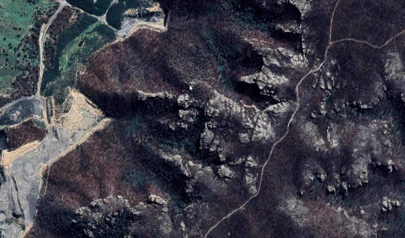
location: Ben Bullen State Forest
driving distance: 132 km
driving time: 2 h
water available:
parking: -33.3320,150.1012
gps tracks
Total distance: 5111 m
Max elevation: 1106 m
Min elevation: 941 m
Total climbing: 269 m
Download file: ben_bullen.gpxMax elevation: 1106 m
Min elevation: 941 m
Total climbing: 269 m