Info
walking distance: 10.7 kmduration: 0:00 h
walking: 0:00 h
elevation diff: 461 m
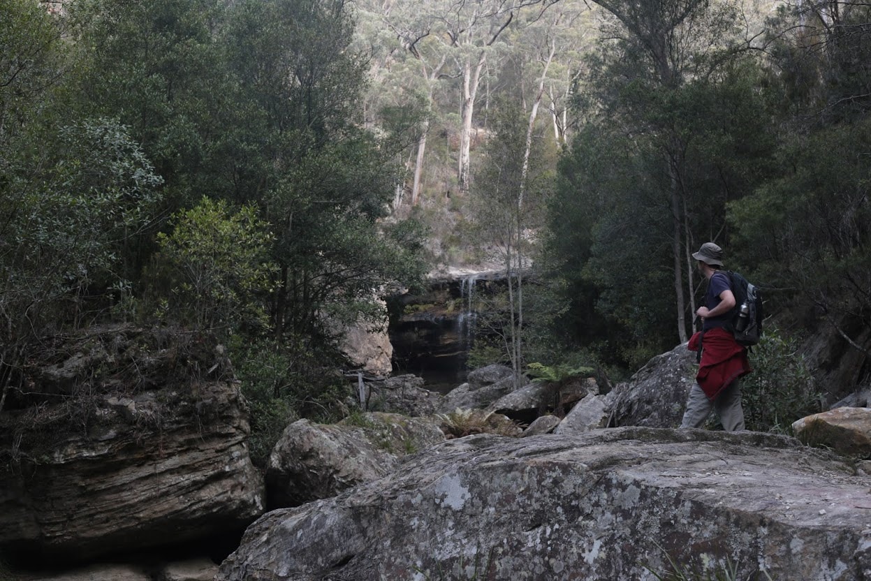
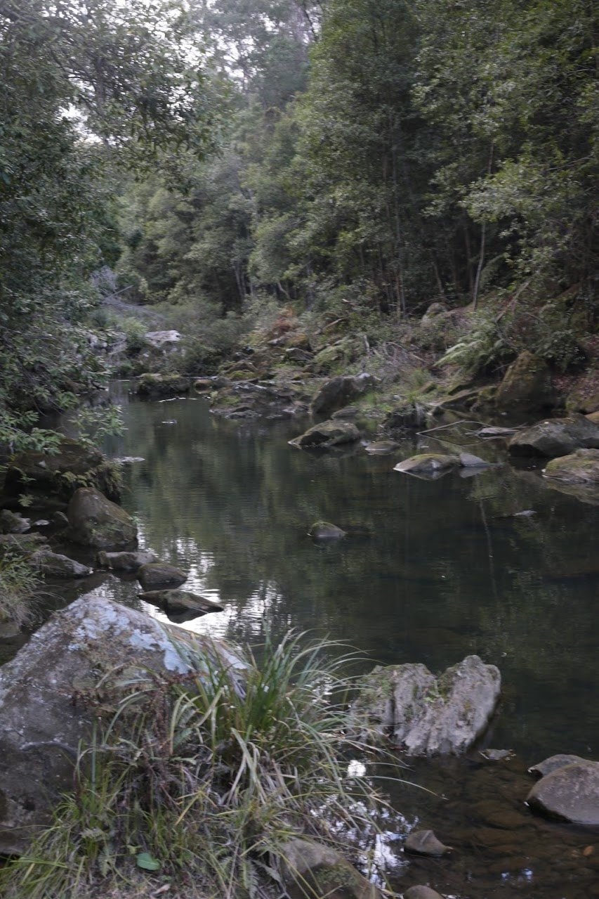
location: nattai national park
driving distance: km
driving time: h
water available: yes
parking: -34.4379,150.4137

gps tracks
Total distance: 10838 m
Max elevation: 701 m
Min elevation: 507 m
Total climbing: 463 m
Download file: box-vale-track.gpxMax elevation: 701 m
Min elevation: 507 m
Total climbing: 463 m
Video
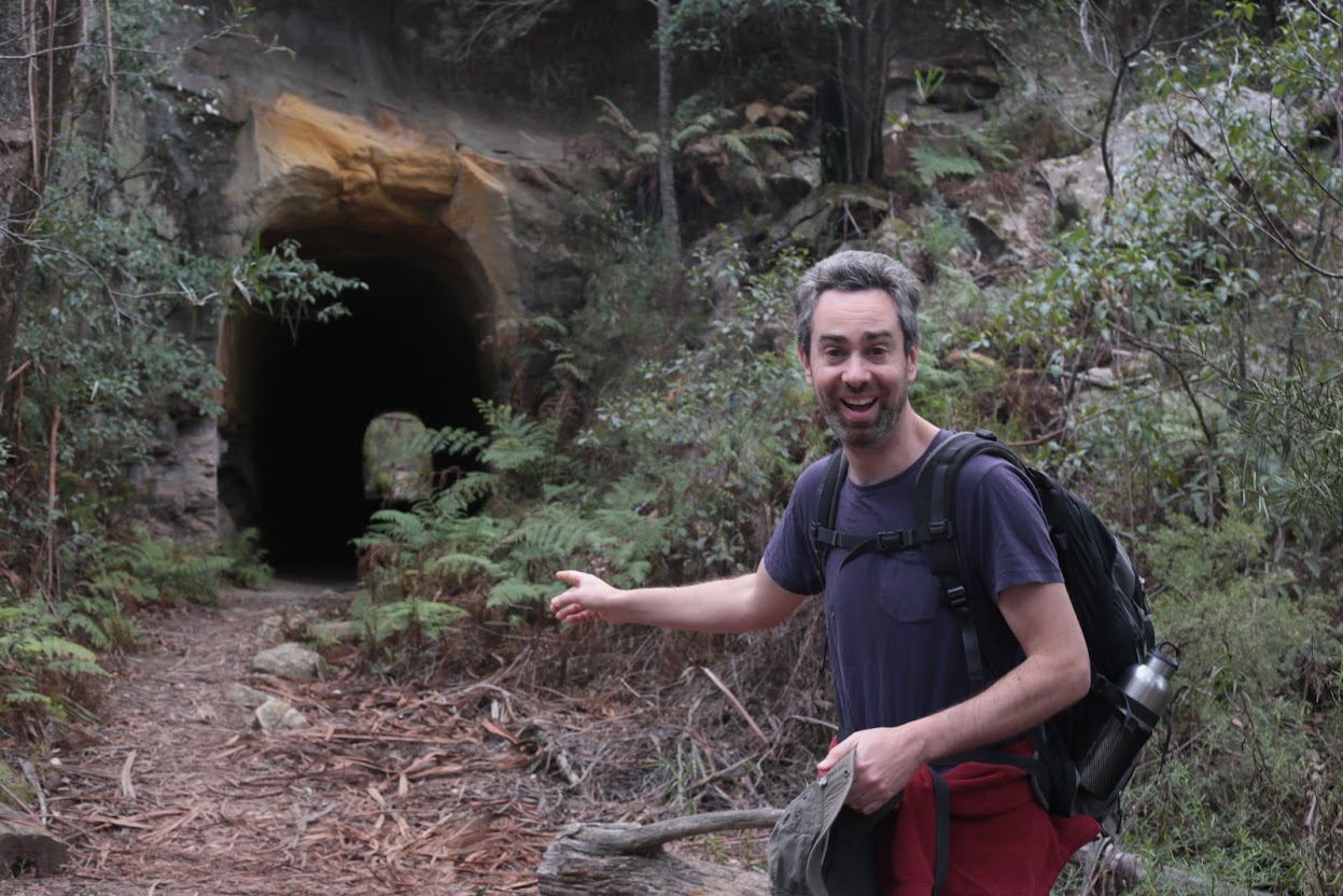
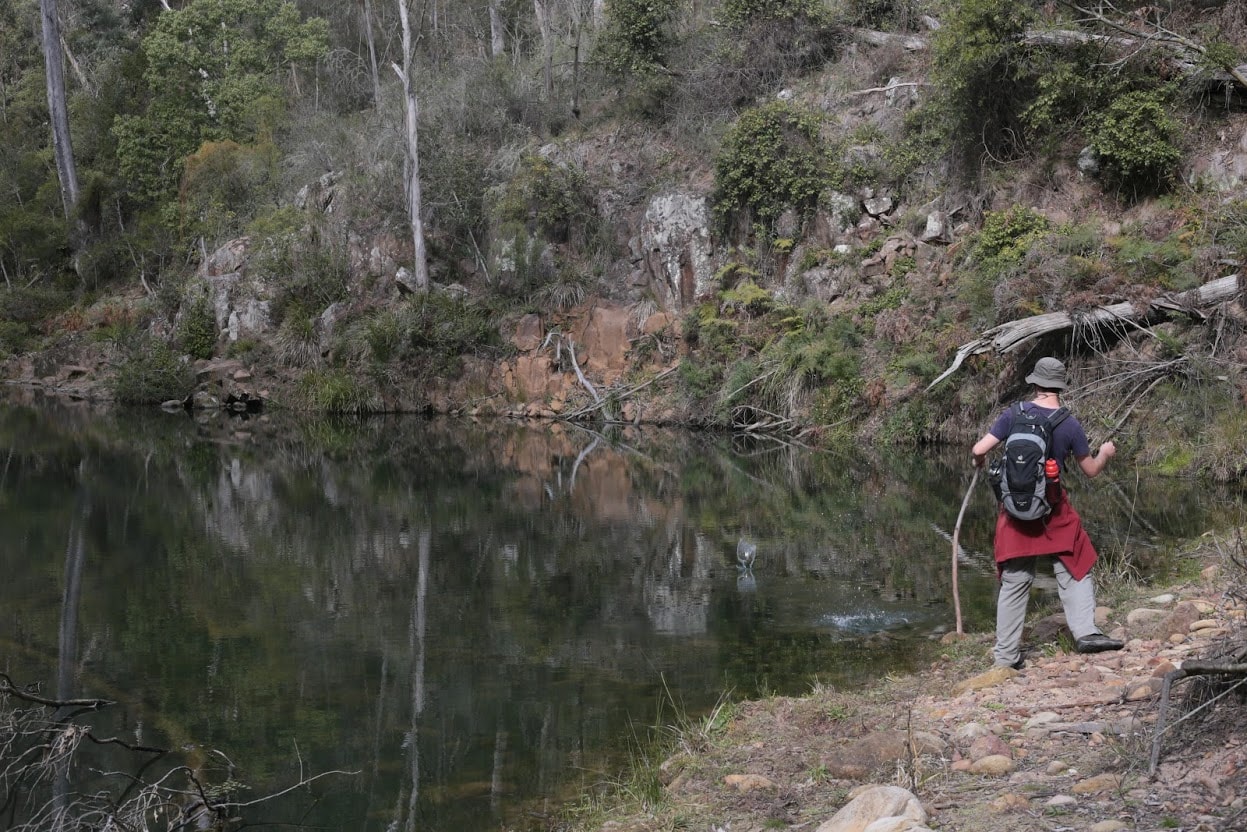
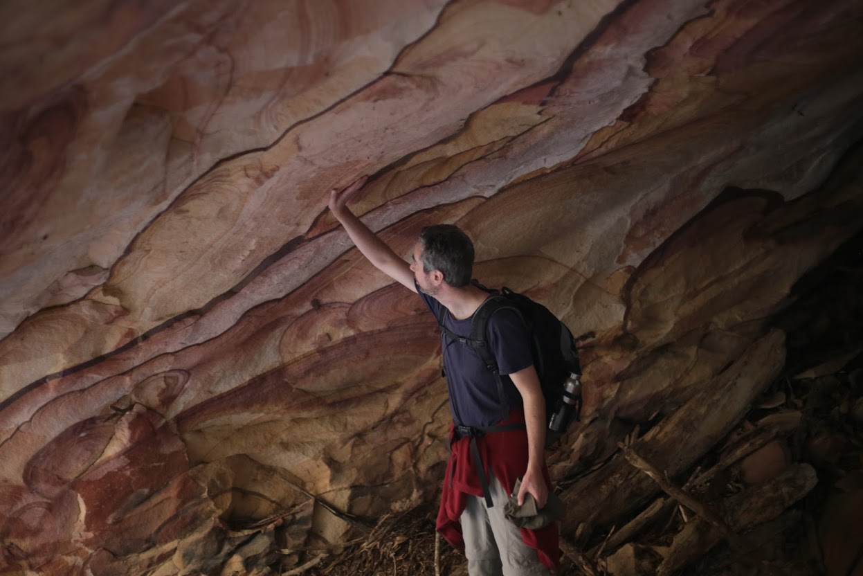
Track notes

Alerts
Nattai National Park
Closed areas: Park closures apply for aerial pest control program 13 May - 24 May 2024
The following areas will be closed for an aerial pest control operation, running weekdays from Monday 13 May - Friday 24 May 2024 inclusive.
- Nattai NP
- Nattai State Conservation Area
- Burragorang SCA – (including Burragorang Lookout)
- Joadja Nature Reserve
- Jellore Flora Reserve
- Wollondilly River Nature Reserve
- Bangadilly NP
- Guula Ngurra National Park
- Upper Nepean SCA including Stage 2 lands (nth of the Tourist Road)
- Barrallier WaterNSW freehold lands
Please note that these parks will be open for weekends during this period.
Penalties apply for non-compliance. For more information, contact the local park office (02) 4720 6200.
Closed areas: Areas closed for ground pest control operation
Some areas in this park are closed from 12am, December 18 2023 to 12am, March 18 2024 for a ground pest control operation.
The closed areas are:
- Warrells Trail off Obrien's Road
- The area between Warrells Trail and Basket Creek